LOCATION
Ain Zhalta is one of the oldest summer villages in the Shouf District. At 40 km from Beirut, it rises 1200 m above sea level, situated on the southern hill of Wadi el Safa. You can reach it through Sawfar, Azzounieh, Nabeh el Safa, Ain Zhalta or Damour, Deir el Qamar, Barouk, and Ain Zhalta.
The town’s name can be traced back to the Semitic language, meaning “the creepy eye.”
NATURAL AND TOURISTIC SITES
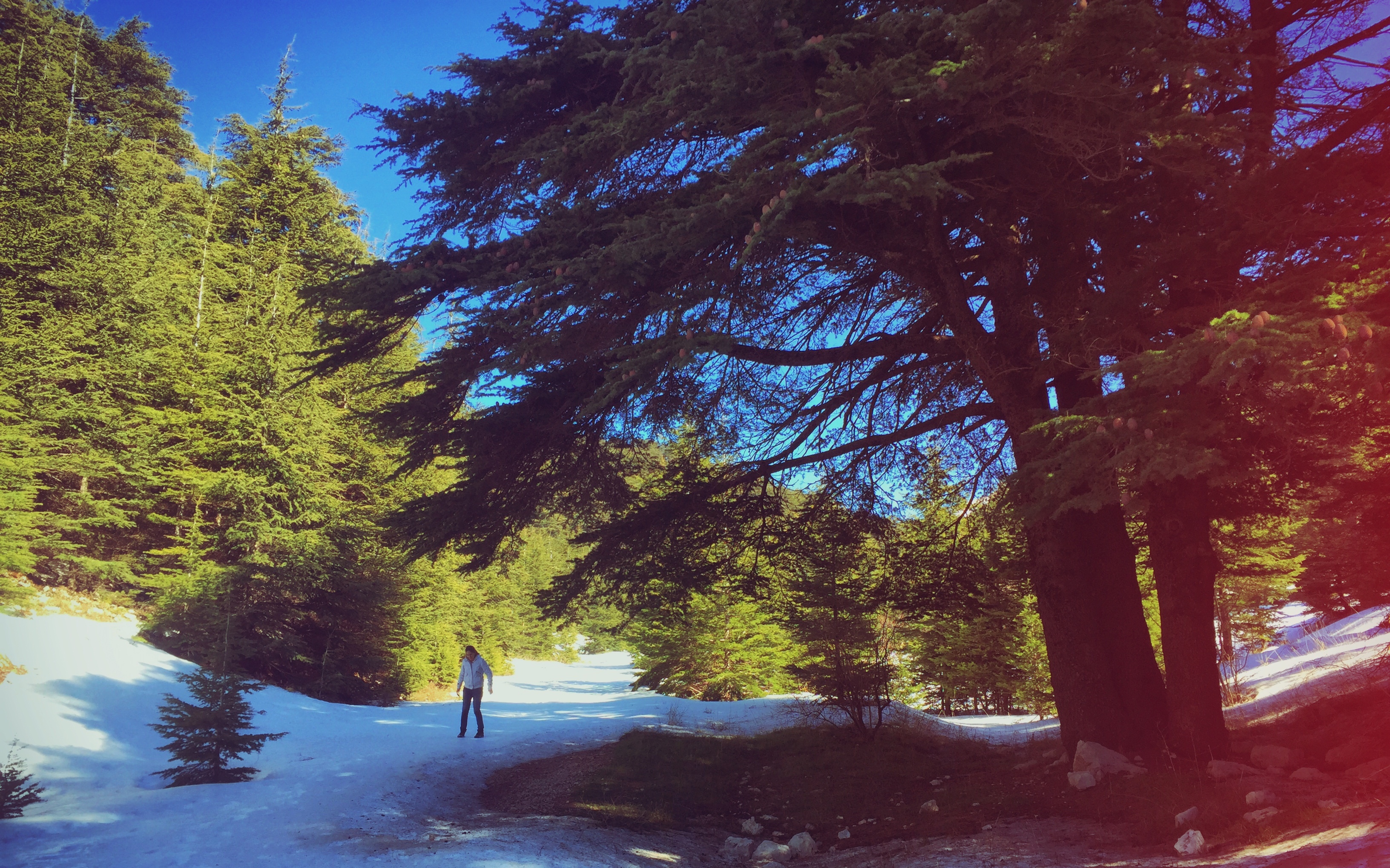
The Ain Zhalta Cedar Forest is a natural reserve of both cedar and pine trees.
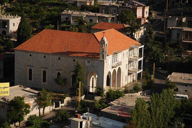
There are several places of worship in Ain Zhalta, ranging from churches to councils; the oldest of them is the Roman Catholic Royalist church of Saint Nicholas.
Several rivers pass through Ain Zhalta (the Nabeh el Safa and Nabeh el Kaa springs, from which water was drawn to the Beiteddine palace during the rule of Emir Bachir), in addition to old mills in the Nabeh el Safa Valley. The Al-Re’ayan Spring hosts a pumping station that distributes water to Aley, Bhamdoun, and other neighboring areas. Ain el Hilaf is recorded in history as the site where Emir Bachir held meetings with his adversaries to make peace and become allies.
The town proudly houses the remains of a citadel that was built during Maani rule, later transformed into a Protestant church. There is an area called “The Jews’ Cemetery,” and a small, nearby village known as Kafra, full of ancient ruins.
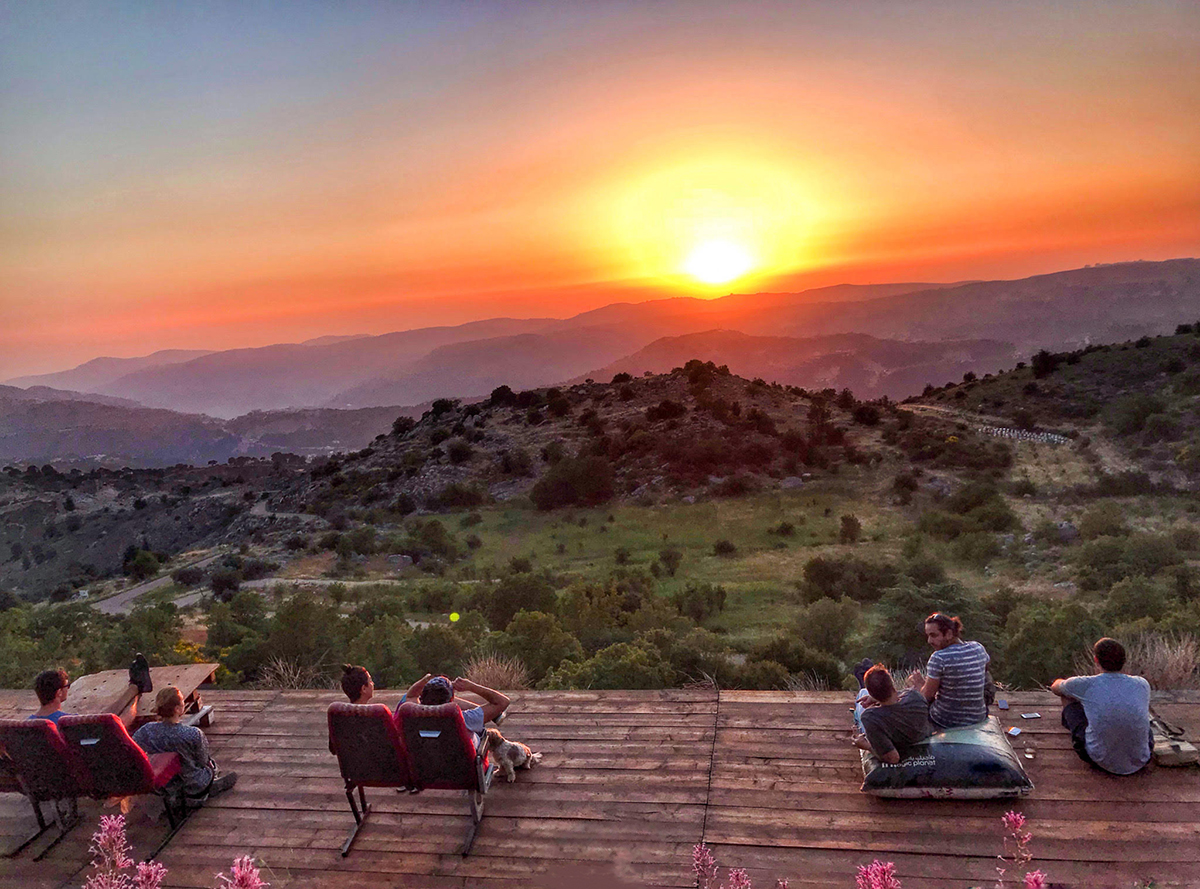
Ain Zhalta includes a number of hotels, in addition to parks and cafes that welcome families on the banks of Nabeh el Safa.