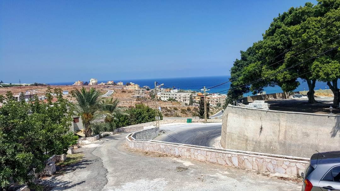
Rmeileh is located approximately 5.5 km north of Sidon and 37 km south Beirut.
Rmeileh sits on hills close to the sea, by the Awali River.
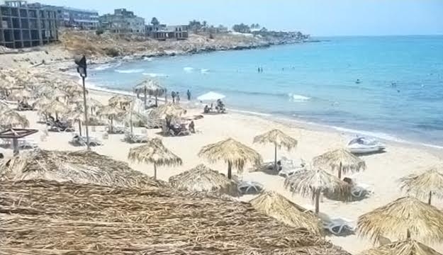
Rmeileh most likely got its name from the nature and location of its sandy beach. In Greek, it is known as Polatamos, but in the Syriac language, the name is derived from the word Armela meaning "beach”
Hill caves suggest a settlement on this site since earliest times. The ancient town of Rmeileh was located near the modern church.
Rmeileh has been important because of its proximity to Sidon. The town has been mentioned, as Palatamos, in conflicts between Antiochus III the Great and the Ptolemaic Kingdom.
In 1863, Ernest Renan found ruins of the ancient city. He found a "unique" 3.6 metres (12 ft.) stone cut in the Egyptian style and stones spread throughout the town cut from sarcophagi from different eras. In a number of caves, excavators found pieces of pottery and tools. Glass and various currencies were found on the sandy beach by the town. The ancient walls were built of sandstone, and inside were broken mosaics. The discoveries at Rmeileh were similar to those in Jiyeh and Khaldeh, Sidon and Chehim.
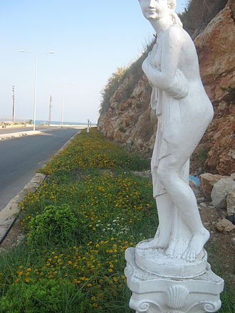
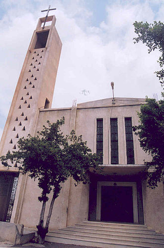
Places to visit: church of the old city,Modern Church, Mar Elias Shrine
Natural features
• Beaufort cave: located near Gemmaiza spring, it is a large cave consisting of calcareous rocks.
• Gemmaiza spring: Located at the bottom of the valley, to the south of the town, near Nabah engraved rock, it is currently being restored as a tourist attraction.